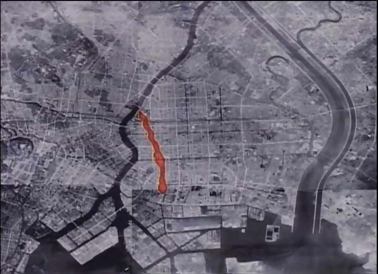
Map of firebombing damage, centered on the Koto-ku area of Tokyo. This image depicts the first wave of damage, shown in red. (For reference, the Imperial Palace is at the extreme left of the photo.) In this image, Koto-ku is bound by two rivers: the Sumida-gawa to the west and the wide Arakawa to the east.
See more at: Tokyo’s archaeology of World War II 東京の第二次世界大戦の考古学 (WW2 sites)
