the tokyo files 東京ファイル

Exploring the world's greatest city: Geography & environment | Transportation & urban design | Art, culture & history

Menu Skip to content
  • About The Tokyo Files
  • Top 10 places in Tokyo
  • Tokyo maps
  • Tokyo museum map
  • Tokyo hiking
  • Tokyo neighborhood map
  • Danchi
  • Media
  • Archives
  • Historical photo resources
  • Tokyo urban design

Category: Tokyo geography
September 21, 2023August 6, 2026 Clark Parker

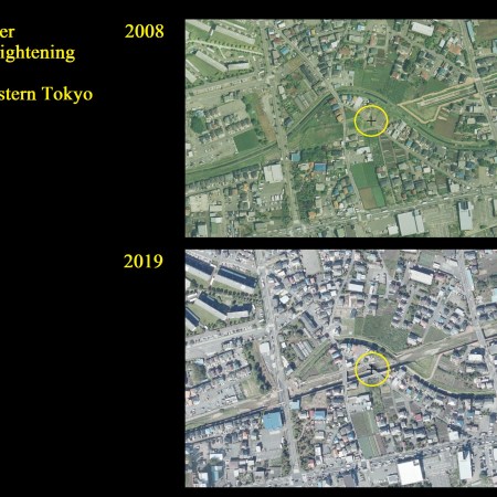
River-straightening case study: Karaborigawa 空堀川河川工学

March 20, 2023September 2, 2026 Clark Parker

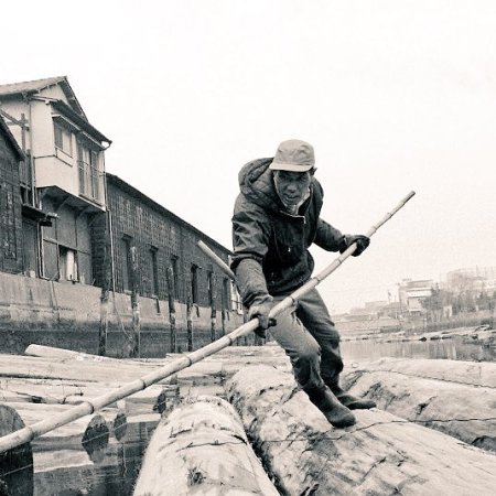
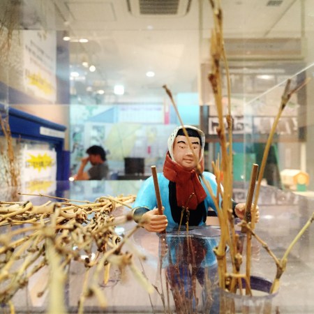
The floating world of floating logs: the kiba of Koto-ku 江東区の木場
January 14, 2019September 1, 2026 Clark Parker

Omori Nori: now you seaweed, now you don’t (Tokyo Bay seaweed farming) 東京湾での海苔養殖
October 22, 2018August 17, 2026 Clark Parker

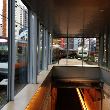
My favorite Tokyo places: old Manseibashi Station 万世橋駅遺構
May 5, 2018August 27, 2026 Clark Parker

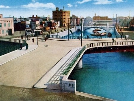
Canals of the Ginza: floating through time on Tokyo’s central waterways 東京江戸「水の都」
May 21, 2017October 11, 2023 Clark Parker

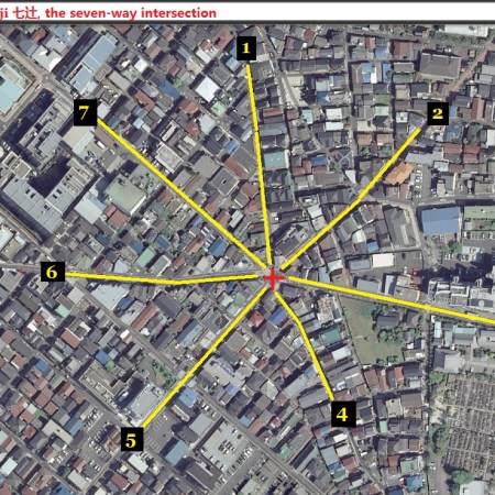
Nanatsuji 七辻 seven-way intersection

May 5, 2017June 17, 2026 Clark Parker

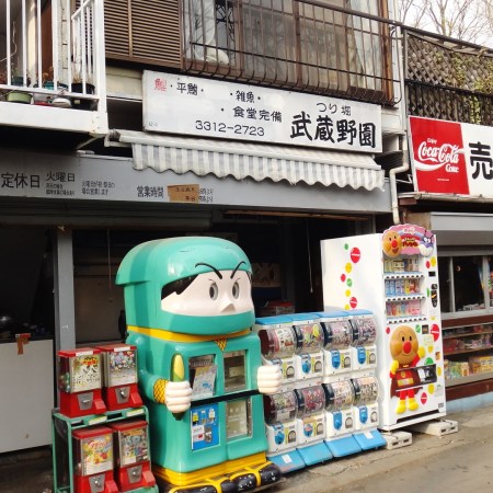
Senzoku Nagare stream 洗足流れ

April 2, 2016August 11, 2026 Clark Parker

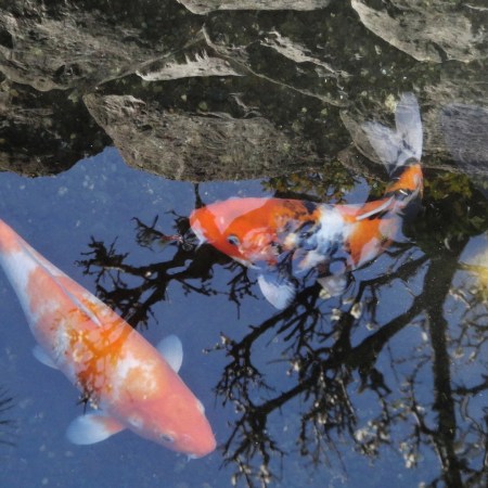
Fishing in Tokyo, under the pink sky 管理釣り場 穴場

Posts navigation

Older posts

Categories

Blog Stats

  • 974,437 hits
Follow the tokyo files 東京ファイル on WordPress.com

Archives

Create a free website or blog at WordPress.com.
Privacy & Cookies: This site uses cookies. By continuing to use this website, you agree to their use.
To find out more, including how to control cookies, see here: Cookie Policy
  • Subscribe Subscribed
    • the tokyo files 東京ファイル
    • Join 626 other subscribers
    • Already have a WordPress.com account? Log in now.
    • the tokyo files 東京ファイル
    • Subscribe Subscribed
    • Sign up
    • Log in
    • Report this content
    • View site in Reader
    • Manage subscriptions
    • Collapse this bar
Loading Comments...