Some brief thoughts about hiking near Tokyo…
First, it’s a miracle that that great hiking is under two hours and 1,100 yen from Ikebukuro station 池袋駅. And it’s a shame that it took me nine months to get my butt out there. The Seibu Railway company 西武鉄道株式会社 publishes free topographical maps that encourage the use of their rail lines, and which are excellent resources. For a full list of these maps, see my post: Seibu Tokyo Hiking Maps ハイキングマップ埼玉県の秩父.
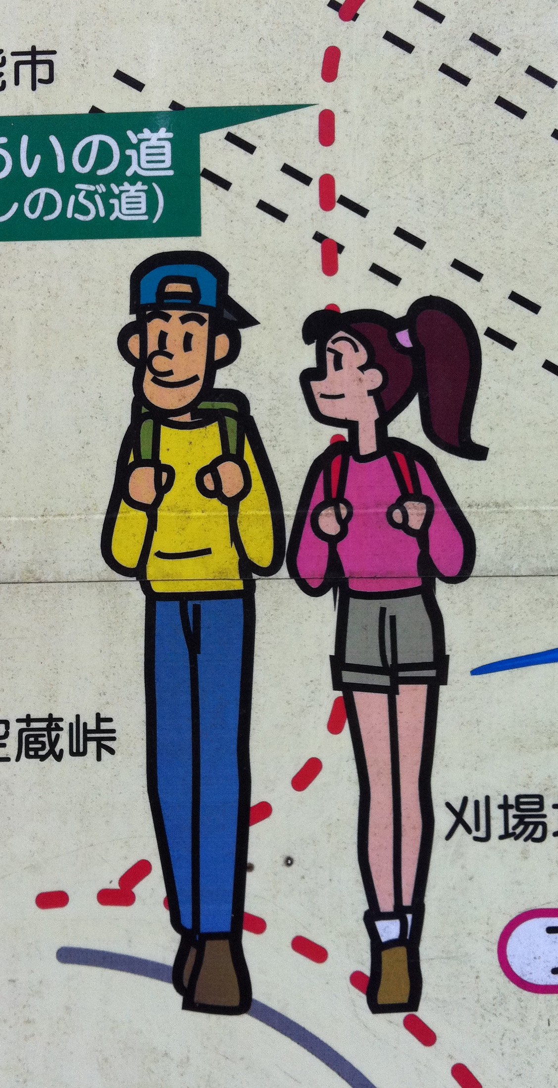
Murayama Mountain 丸山 map (click for PDF)
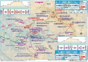
Last weekend I took the Seibu Ikebukuro Line 西武池袋線 to Hannō 飯能市, then the Seibu Chichibu Line 西武秩父線 to the hills of Yokoze 横瀬町 in Saitama 埼玉県 . There are a few different express and rapid options which cut 30 minutes from the trip if you’re smart. I’m not that smart. You can download the maps from https://www.seiburailway.jp/railways/hiking/index.html .The route described in this post is linked in the picture above, and also here (PDF).
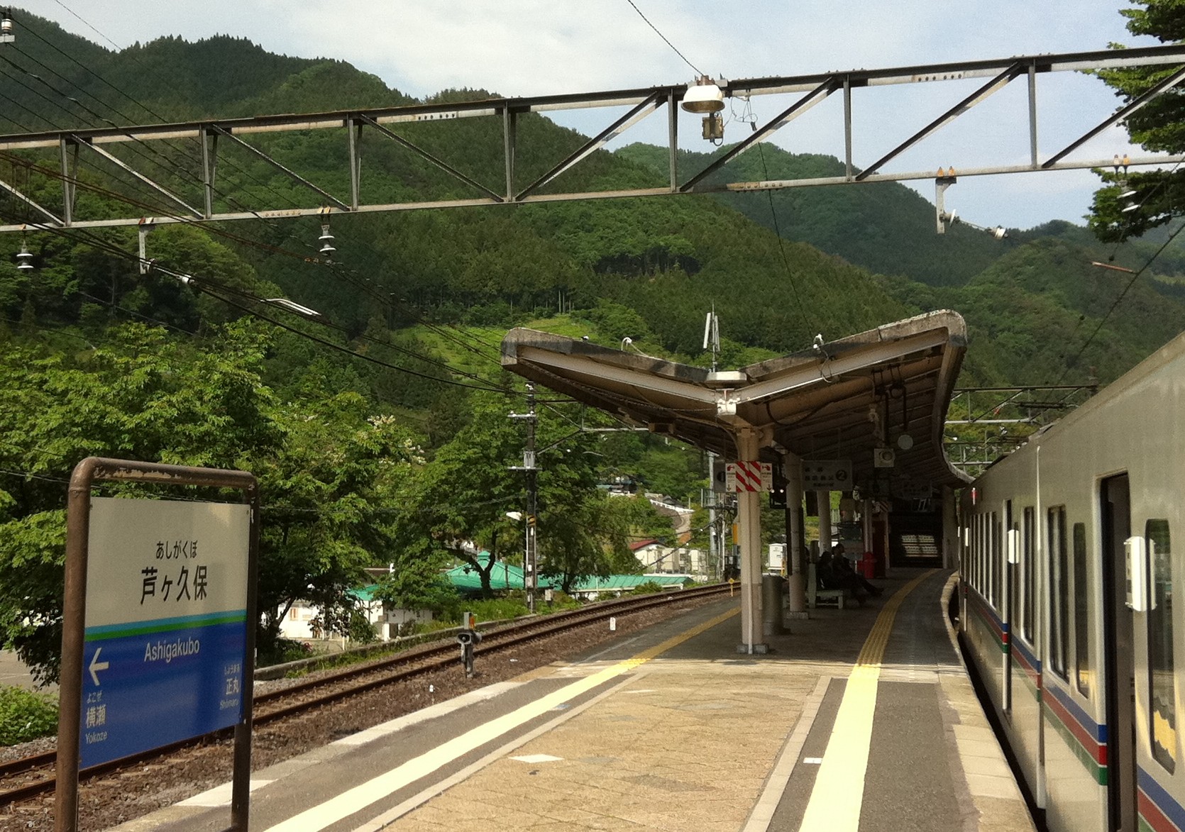
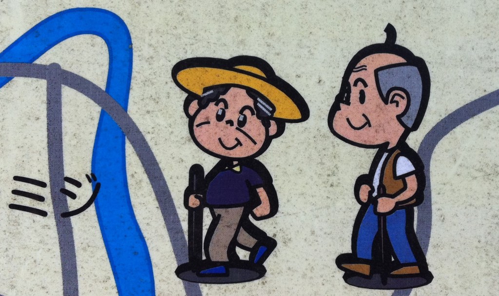
I took the train to Ashigakubo Station 芦ヶ久保駅 (map) and easily found my way onto the trail. Walking counter-clockwise on the “red” trail the first 2 kilometers follow the scenic (yet somewhat busy) roadside. Turning up a side road towards the trailhead and then into the hills I soon passed several older hikers. (By the end of the day I counted dozens of hikers past the age of 70 – the majority of the hikers I saw).
Ashigakubo Station 芦ヶ久保駅, and hiking trail-head…
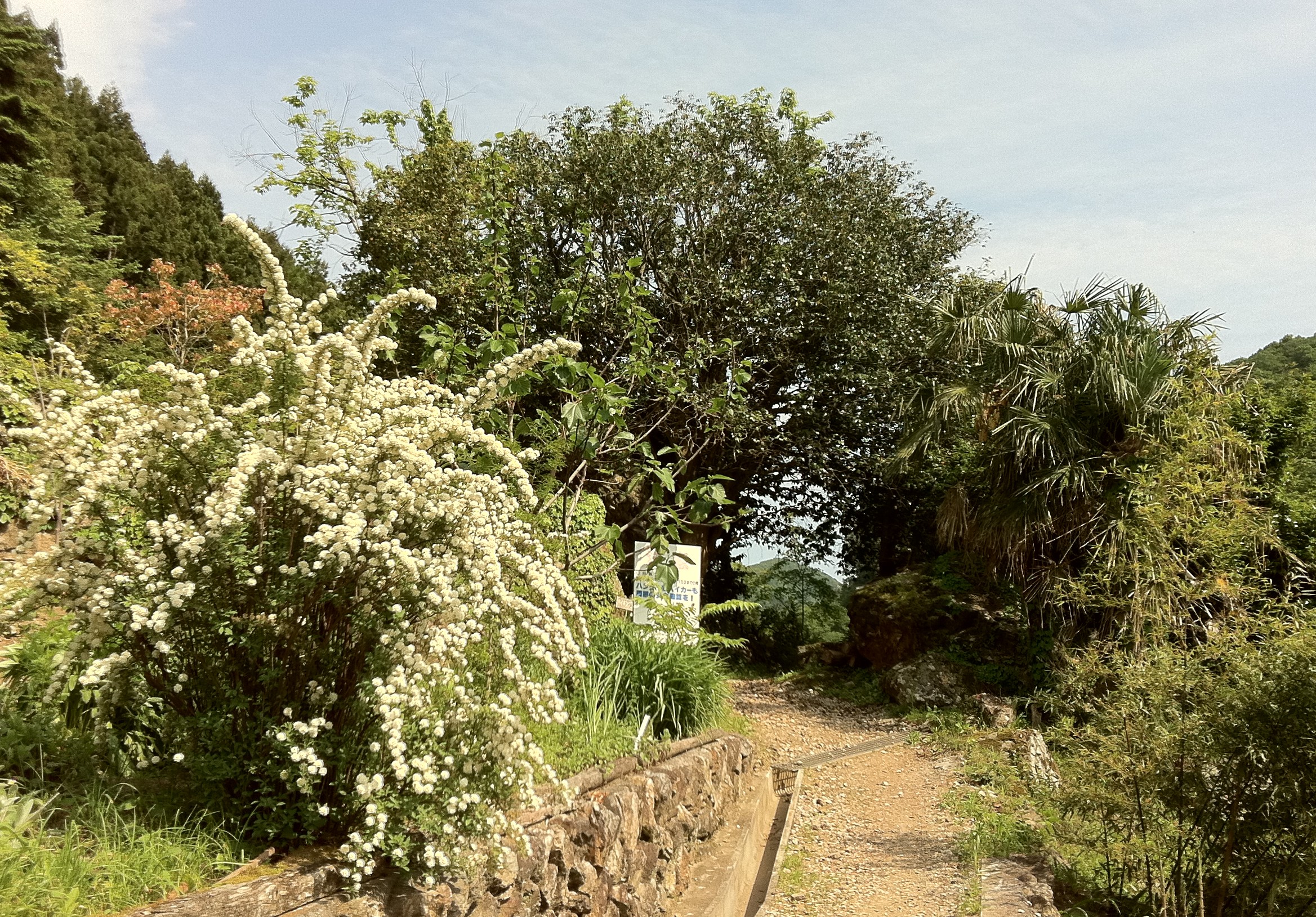
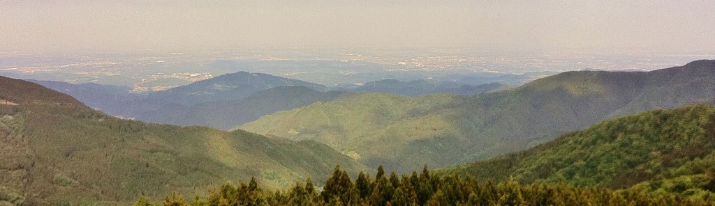
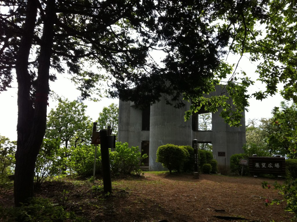
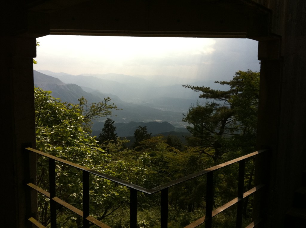
The next several kilometers followed a steep, heavily wooded path. The trailwas well-marked with Japanese signs at most major intersections, which I could cross-reference to the Seibu map without much difficulty. After a 3 kilometer climb I reached Ohno Pass 大野峠 and a quiet mountain road that follows the ridge to the peak. The hiking trail follows the ridge but generally the road is not visible. In the middle of the ridge is Murayama Mountain 丸山 (960 meters) which boasts a 3-story observatory with 360 degree view.
Murayama 丸山 Observatory, and view from the observatory…
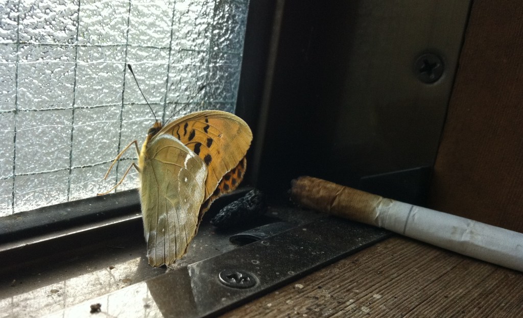
The path down (counter-clockwise) contained a series of amusing and surprising diversions: shrines, ramshackle farming houses, a butterfly smoking a cigarette (almost).
And best of all, a fruit farmer who grows the sweetest strawberries I’ve ever had. For 500 yen I ate as many strawberries as I could. A Japanese tourist and I spoke to the farmer and his mother, admired their 100-year old home, and complemented them on their Japanese garden (let’s face it, they did all the talking, I just listened and understood about every 10th word).


With my journey coming to an end, and the sun going down, I started to get that Sunday feeling. What better way to boost one’s spirits than a ride (or two) on a ridiculously fun (and random) slide in the middle of the woods. Let’s go to the video…
Video caption: Yokoze rural town park, rubber roller slide / 農村公園 横瀬町, ゴムローラー滑り台やワイヤースライダー
Not a bad way to spend a Sunday!

See also:
- Tokyo hiking 東京ハイキング: hiking resources in the Tokyo area
- Class dismissed: the ghost schools of Yokoze and Hanno, Saitama: includes an abandoned school near Ashigakubo Station
- A drop of golden Sundays – love and loss in a Tokyo summer: recollections from a Tokyo hike

[…] Tokyo hiking: Murayama Mountain 丸山 , Ashigakubo Station 芦ヶ久保駅 […]