Updated March 8, 2023
I. In which the author makes the discovery of a tranquil river
A week removed from that frigid Saturday, the day all of Tokyo celebrated hanami 花見 like cherry blossom addicts, the day I missed with a stubborn spring cold, it is now this Saturday, a dreary excuse for a weekend during which spring continues its backwards march, a day I’ve devoted to escort my brother and his wife to the airport. Mission accomplished and I’m in Chiba with an afternoon at my disposal. It would be unfair to Chiba to say I can’t think of anything to do here for fun, but then again, can you?
I board the Keisei Main Line 京成本線, the names of passing stations soliciting my attention: Sogosando 宗吾参道, Keiseishisui 京成酒々井, Yukarigaoka ユーカリが丘. I get off at Katsutadai 勝田台駅 and walk east towards the next station, Keisei-Ōwada 京成大和田駅. I slip into the quiet side streets, past a karaoke hall, a Christian house of worship, through the strengthening drizzle, around a high school 千葉県立八千代高等学校, up-and-over Route 16 国道16号線, towards a river I flow…warned by Google maps of the impending water hazard, so I angle towards the closest bridge, a thin line on the map.
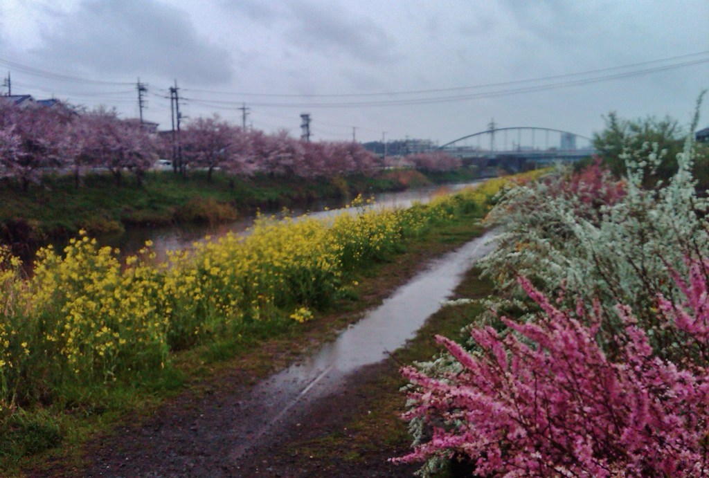

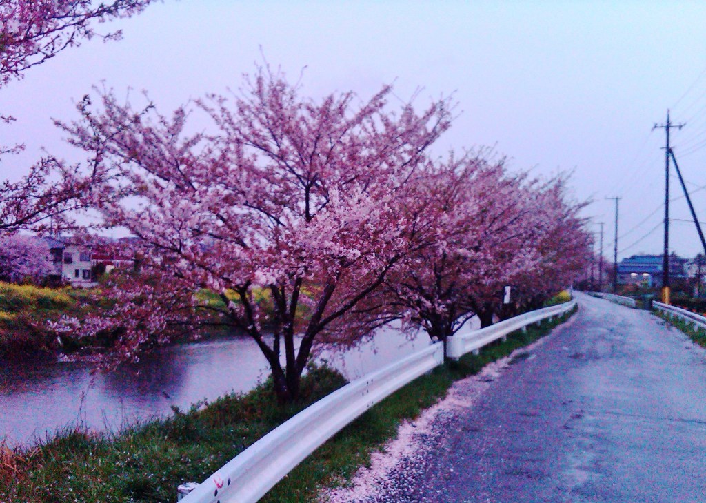
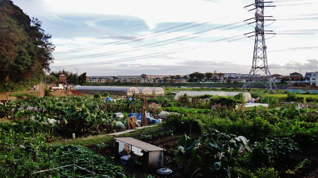
I snake through streets of single family homes and spot a dirt path leading to a riverbank. A ribbon of gardens separates the houses from the river’s edge. What a wild and beautiful place, with flowers blooming despite the gloom, and vegetables planted for summer harvest. Across the water are cherry trees, aptly located for a river I later will learn is the Hanami River 花見川 — of course, just about all rivers in the Tokyo area could be called hanami due to the preponderance of cherry trees, many of which were planted at the urging of Tokugawa Yoshimune 徳川吉宗 circa 1717.
In the midst of grey and forgettable Chiba, the Hanami River has carved itself into my consciousness. A week after missing out on hanami festivities I have reason to celebrate on my own…and reason to return to this place.
II. Perhaps a geography lesson
Just north and upstream of where I’ve entered the Hanami River is the Ōwada Drainage Pump Station 大和田排水機場から, one of the many dams and sluice gates that serve the largest watershed in Japan, that of the Tone River (Tonegawa) 利根川. North of this pump station the river is called the Shin River (Shingawa) 新川. Travel upstream and before reaching the Tonegawa you will cross the area formerly known as rampage swamp 暴れ沼 (あばれ沼), and the Tonegawa was a rampage river 暴れ川. Massive flood controls were built after WWII, reducing the size of the swamp and regulating floods.
(Note: the word numa 沼, meaning swamp, is one of my favorite Japanese words, perhaps because it’s somewhat silly sounding. It is also part of the title of one of the funniest Japanese comedy movies, 『インスタント沼』 (2009), which is translated as “Instant Swamp” or “Instant Numa”. The film’s director, Satoshi Miki 三木聡, is also responsible for one of my other favorite Japanese films of the 21st century, 『転々』 (Tenten) (2007), translated as “Adrift in Tokyo.”)
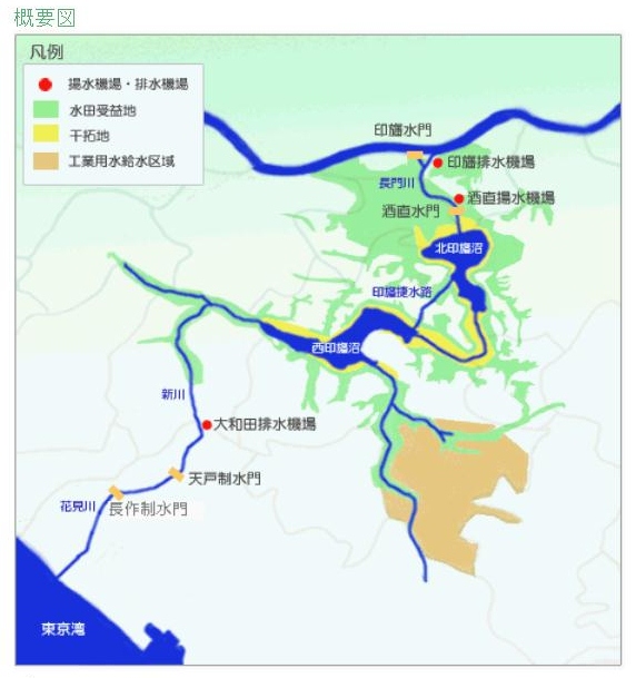
The former swamp is now a pair of lakes, Lake Inba-numa North 北印旛沼 and Lake Inba-numa West 西印旛沼. Together with its successor, the Shingawa forms the Inba Discharge Channel (Inba Hōsuiro) 印旛放水路, ultimately draining into Tokyo Bay near Mihama Ward, Chiba 美浜区. Pollution along these waterways is considerable; as of 2006 Lake Inba-numa was ranked as having the worst water quality among lakes used as a water supply in Japan. Efforts to improve the watershed’s quality are overseen by the Chiba Water Agency’s Integrated Water Management Office 水資源機構 千葉用水総合管理所. Despite pollution concerns upriver, the Hanamigawa is beautiful and surrounded by undeveloped land for much of its length.
How to get to Lake Inba Numa by train?
- Lake Inba-numa North 北印旛沼: the closest train station is Shimosa-Manzaki Station 下総松崎駅 (map), on the Narita Line (a 20-minute walk)
- Lake Inba-numa West 西印旛沼: the closest station from the south is Keisei-Usui Station 京成臼井駅 (KS34) (map) on the Keisei Main Line; from the north the closest station is Imba-nihon-Idai Station 印旛日本医大駅 (HS14) (map) on the Hokuso Line
III. The swaying bamboo of the distant shore
It’s now October, a Sunday, and I’m returning to the Hanami River. Keisei-Owada is a humble station – today the outbound gates are closed so I walk across the surface of the tracks to exit the other side. I eat sushi and soba at a sobaya next to the station – upon leaving the owner sends me on my way with the phrase, Yoroshiku Onegaishimasu よろしくおねがいします, a linguistic experience I haven’t encountered at restaurants closer to Tokyo (very roughly translated as thank you, entire blog posts are written about this phrase).
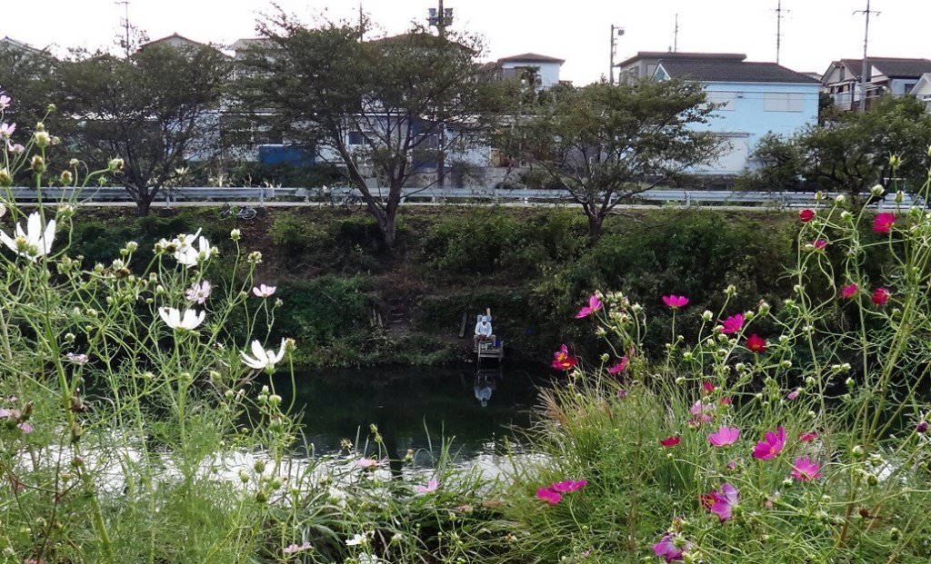
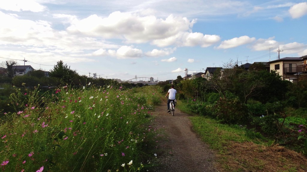
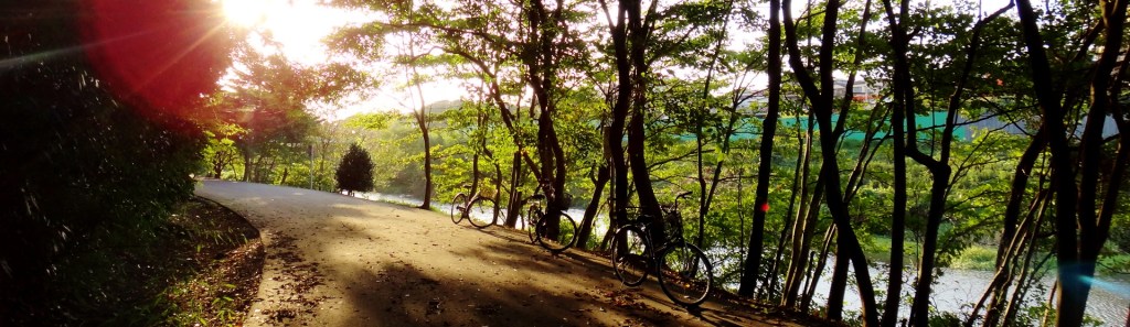
I leave lunch anxious to see the river again, nearly following the closer western shore. This is important as the long path running from here to Tokyo Bay runs along the eastern shore. I find my way to the ribbon of gardens and head downstream, past old men dug into the muddy riverbank, fishing poles in hand. Soon the path is lined by trees and becomes a tranquil sanctuary, far from the noise of greater Tokyo.
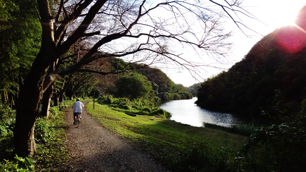
You often read about the graying of Japan – it has the oldest population in the world – but living in Tokyo you don’t quite get this impression, unless you watch movies at the National Film Center, which I’ve written about. But boy will you get your fill of old people when you walk the Hanami River; I try to be friendly by saying hello to everyone I pass, but my konnichiwa こんにちは sounds naked when returned with the rich, gravely voices of the elderly.
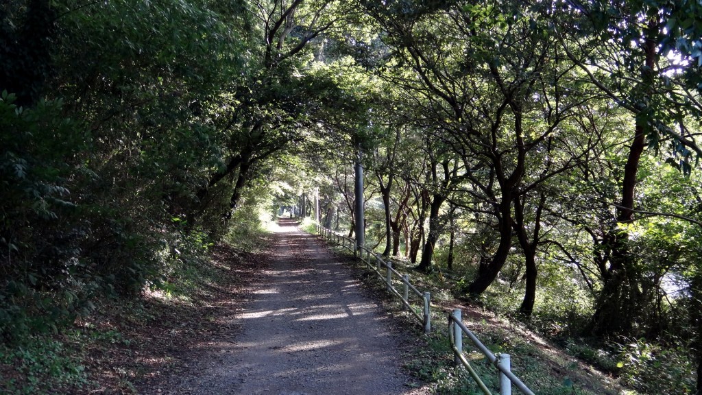
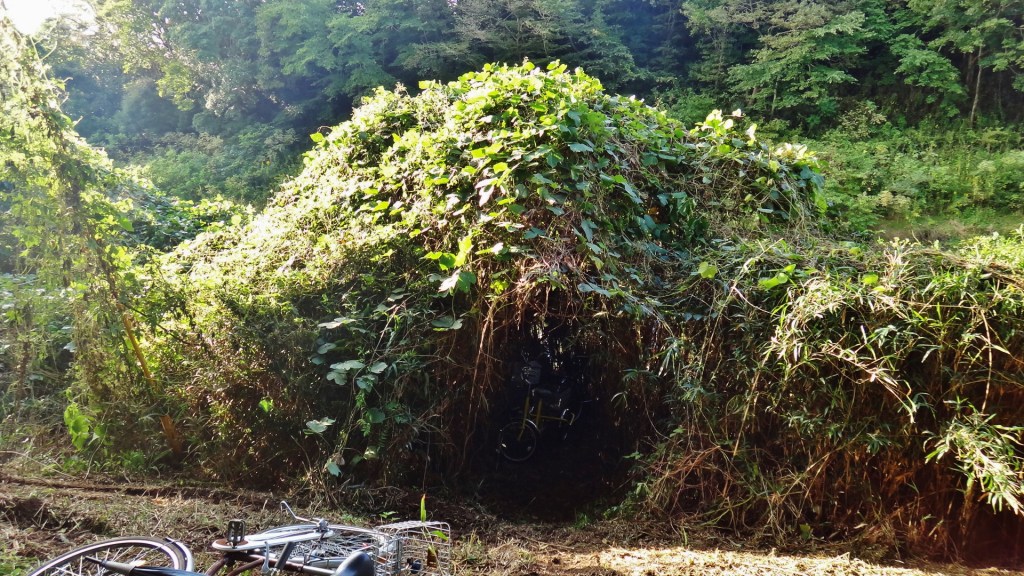
Between the path and the river is a thick tangle of weed-like plants. Efforts are made here and there to tame the growth, and I spot a tunnel cut through the brush. A yellow bicycle remains nearly hidden in the shadows, and voices reach me from the unseen riverbank. A place of magic, the child in me recalls that summer 27 years ago when my brother and I took command of a natural fort formed by the brambles and trees on the steep hillside between our rental house and the beach.
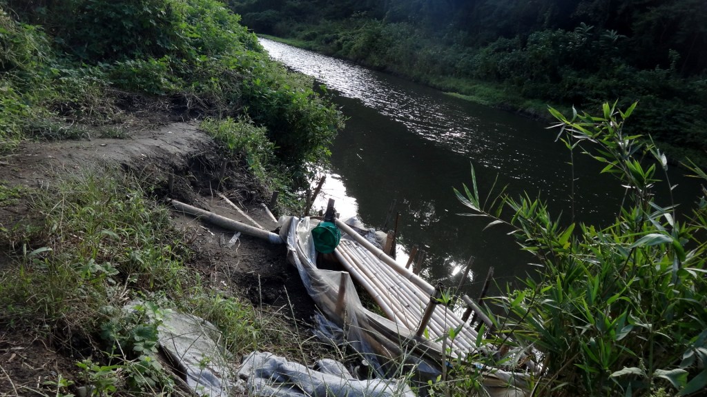
Further ahead I spot a small bamboo dock and fishing post. Who built this? Does anybody own it?
As this wild stretch of river comes to a close, strains of Take the “A” Train float across the river from a saxophone; this Ellington/Strayhorn classic is a long way from New York, but it feels right at home.
IV. A temple visit, after which a detour is encountered
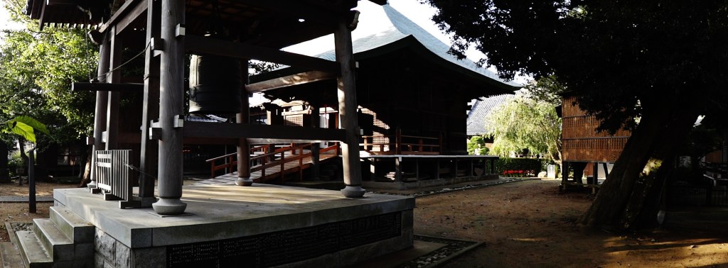
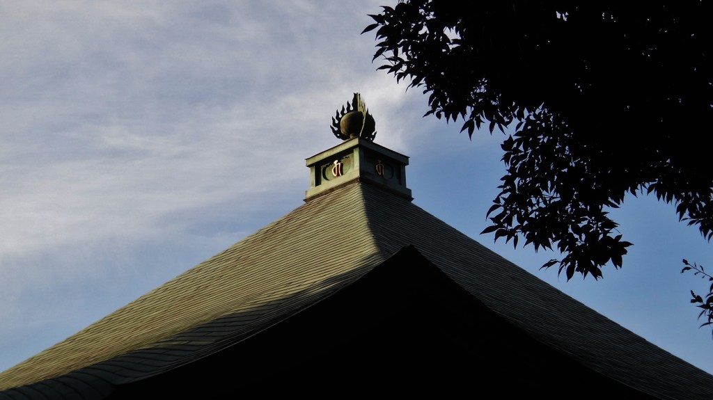
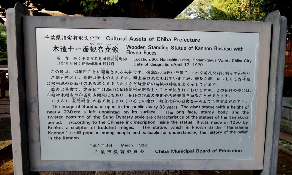
I cross the river and enjoy an unintentional encounter with one of the marvelous Buddhist Temples and Shinto Shrines that dot the Tokyo area. The temple, Kannon Hanajima 花島観音, houses the Wooden Standing Statue of Kannon Bosatsu with Eleven Faces 本尊は十一面観音菩薩、「花島観音」, one of the Cultural Assets of Chiba Prefecture 千葉県内の文化財は.
There being 672 such cultural assets, who cares about one dumb statue? Would you care more knowing that the statue is only on display once every 33 years? Standing 2.3 meters tall and made circa A.D. 1256, the statue was last displayed publicly in 2001. If you happen to be in the Chiba area on April 18, 2034, check it out!
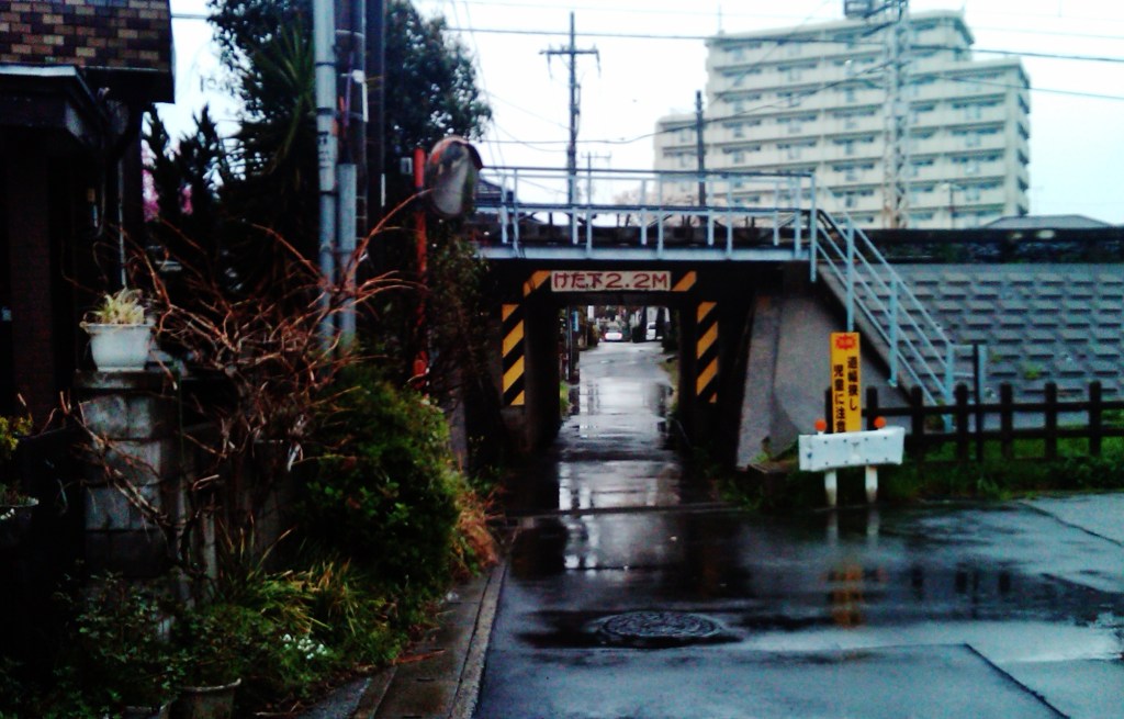
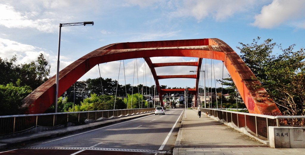
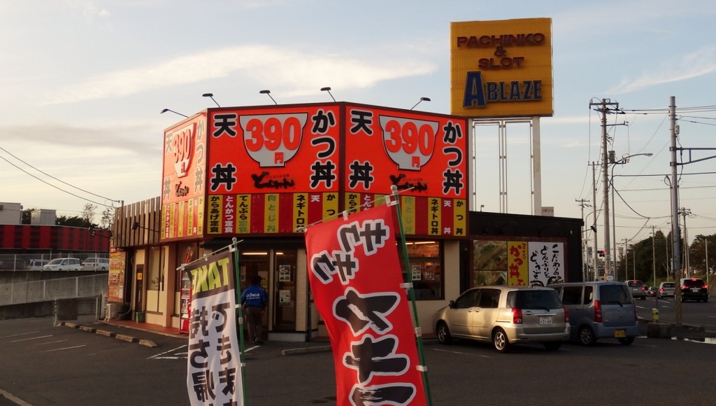
Not waiting for 2034, I continue along the Hanamigawa Cycling Path** 花見川サイクリングコース(千葉市), but the path is blocked by major construction and I’m forced into the suburban hills of Kotehashi Village 犢橋町. At crest of the the busy road I spot a Pachinko parlor with enough parking for a small Wal-mart; the day I fully understand the allure of Pachinko is the day I become fluent in Japanese.
** The Hanamigawa Cycling Path is 14.3 kilometers, stretching from near Keiseiowada to Tokyo Bay at the Inage Ocean Cycling Park 稲毛海浜公園サイクリング, where bicycles are available for rent.
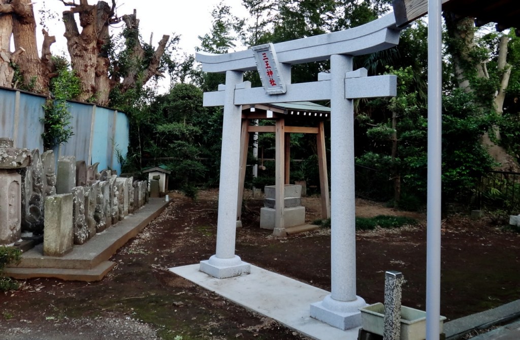
Google maps helps me through the detour, leading me up a narrow street where I encounter a tiny shrine tucked next to a home; around the corner the road turns to dirt and descends into a hidden valley of vegetable farms drawing water from a narrow canal that drains into the Hanamigawa. In this flood-prone valley too wet for houses, farms bloom like algae. How many people are fed by this bounty?
V. All water flows to the sea
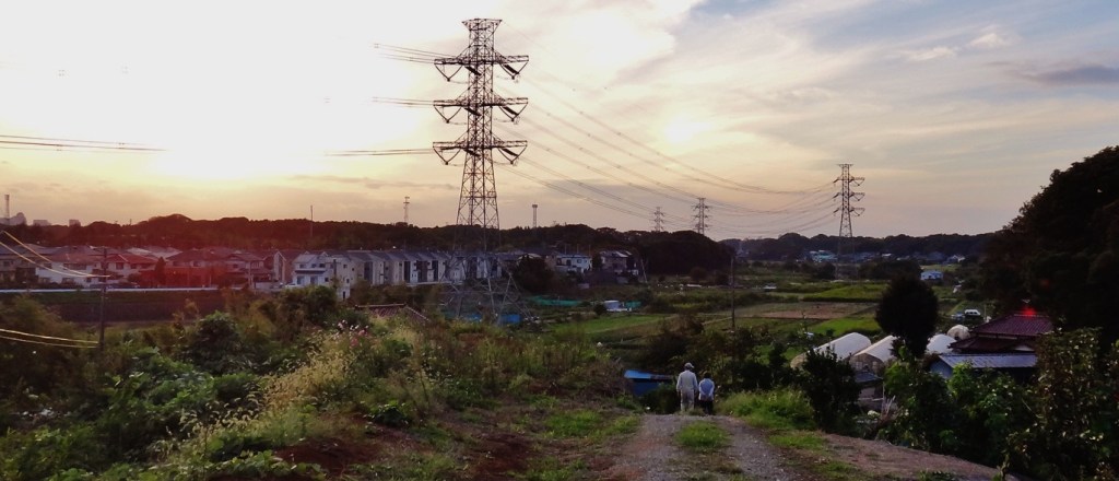
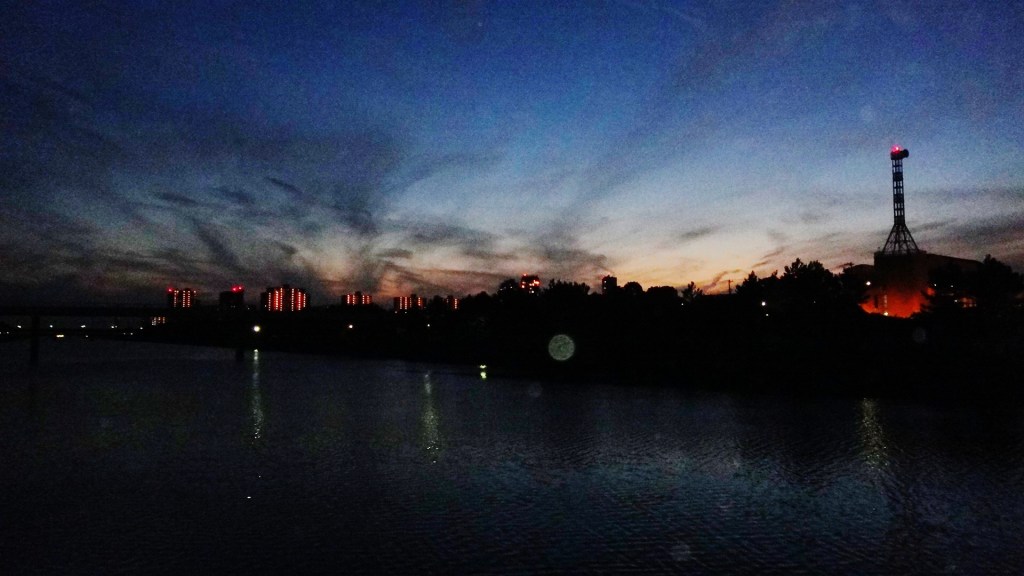
Re-joining the Hanamigawa the sun begins to set, as if knowing that my journey is coming to a close.
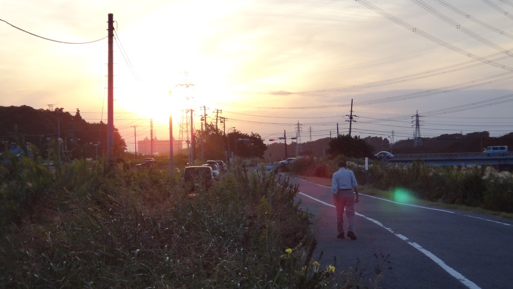
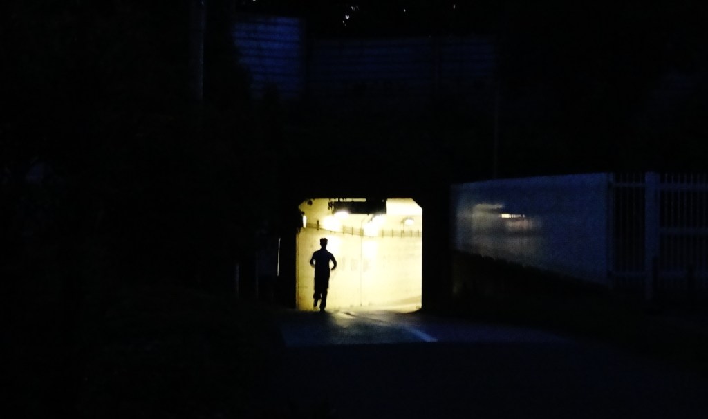
The river’s surroundings are increasingly urban, the people younger, and I am passed by streams of joggers and families on bicycles. The sun has set, dusk is creeping towards darkness, and I find myself at Kemigawahama Station 検見川浜駅, rejoining the modern world.
Links:
Map of items discussed:
Cherry blossom viewing spots:
- List of some of Tokyo’s most popular cherry blossom viewing (hanami) locations
- Tokyo Hanami Guide (Go Tokyo)
Hanami river:
- Hanami River (Wikipedia)
Tonegawa, Lake Inba (and other rivers):
- Map of Inba Numa swamp and nearby rivers
- http://inba-numa.com/
- Lake Inba Numa map 印旛沼地図
- Inba numa 印旛沼 (Japanese Wikipedia)
- Inba Numa information
- Shin River (Wikipedia)
- Tonegawa River (Wikipedia)
- Water resources in Chiba
- the tokyo files: rivers & green roads 東京の川や緑道
- Tonegawa Eastward Transfer Project 利根川東遷事業
Temple:
- 県内の文化財指定状況 Chiba prefecture list of cultural properties

[…] Hanami River 花見川 (印旛放水路) flows thru Mihama Ward into Tokyo […]