Can I walk to Haneda airport? Please read on for an account of a late-night sanpo / sampo 散歩…
1. The road more traveled
In Edo-period Japan the Tōkaidō 東海道 road linked the shōgun’s capital, Edo (modern-day Tokyo), with the emperor’s capital, Kyoto, allowing the shogun to maintain administrative control over Japan.
Shinagawa, the first stage of the Tōkaidō after leaving Edo
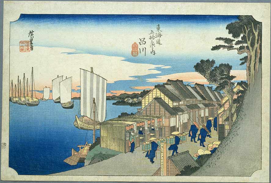
The 303-mile (488 km) coastal road was dotted with 53 government-sanctioned post stations that supplied food and lodging for travelers; known as shukuba 宿場 or shukueki 宿駅, the stations or “stages” have reached popular imagination through The Fifty-Three Stations of the Tōkaidō 東海道五十三次, a series of ukiyo-e woodcut prints created by Utagawa Hiroshige 歌川 広重 circa 1830’s. The Tokaido was used for the transport of letters and lightweight goods, travel, and military use.
The Tokaido is generally not used for walking to Haneda Airport 羽田空港.
2. The road less traveled
Narita Airport, the primary international airport for Tokyo, lies 43 miles east of Tokyo (Tokyo Station). Haneda Airport, on the other hand, is a mere 13 miles away. Although public transit to Narita is good, it takes about 1 1/2 hours (maybe 2 hours if you miss the express train). Haneda, on the other hand, is frequently served by the Tokyo Monorail 東京モノレール that runs from Hamamatsucho Station 浜松町駅. Naturally I was excited when my recent flight was scheduled to depart from Haneda. Days before my flight, a coworker mentioned he was flying out of Haneda; he noted that the cab fare from his apartment in Kamiyacho to Haneda is about 6000 yen, or $75. What a sucker. I thought to myself. I’ll just take the train.
The night before my flight I’m packing and watching hulu and going over some last minute logistics, leading me to reconsider my getting-to-the-airport plan. The flight’s at 6:10 a.m. and I’m obsessed with getting to the airport 2 hours in advance, which means 4:10, but I’ll cut myself some slack and go with 4:30. Guess what, genius, the first train leaves Hamamatsucho at 4:58 a.m.
It’s now 11:30 p.m. and I’m not packed, so I won’t have time to catch the last train and stay at Haneda overnight, which is common for early flights. And I certainly don’t want to pay $75 bucks for a taxi because even though I’ll gladly spend that on beer I still can’t stomach that much for a cab. So I decide on the only sensible course of action…go by foot. Aruite! 歩いて!
It is fortunate to love a hobby as inexpensive and creative as walking; among the great joys is forming a connection between two previously unrelated places: my apartment and Haneda Airport – in between lies a tangle of roads and question marks…does anything even exist south of Shinagawa? And then there is the joy of unexpected discovery...
Numbers such as (1) refer to references on the attached Google Map:
3. What you see when nobody is watching
Leaving my apartment at 1:30 a.m. I have almost 11 miles to cover, which should take less than 3 hours if I keep a steady pace. From Shibakoen 芝公園 (0) it’s a straight shot above the Mita Line to Tamachi Station (1), a giant of the Yamanote circuit rendered powerless by the early morning calm. I pass through the empty station and onto the man-made islands of Shibaura 芝浦 3-chome and 4-chome. So far I’m in familiar territory, but crossing into Kōnan 港南 1- chome the houses and restaurants give way to the massive Shibaura Water Reclamation Center 芝浦水再生センター (2).
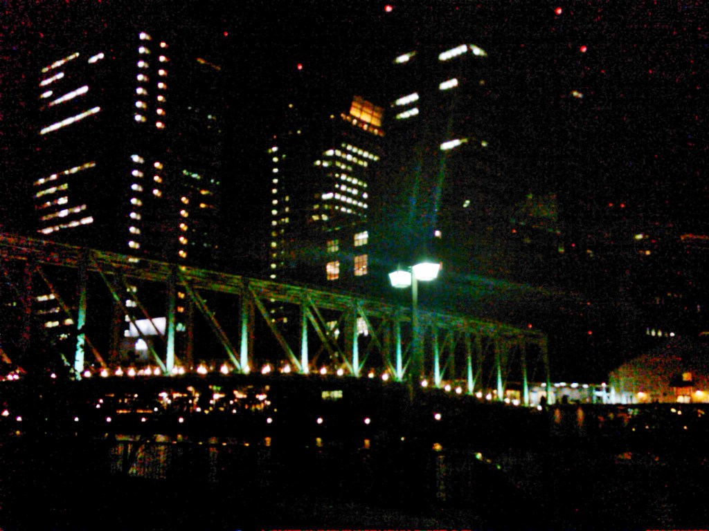
Bored by the wide road I hop onto the pedestrian path that runs along the channel separating Kōnan 4-chome from the mainland. This route has much to offer: the quiet lapping of water, the beautiful TY Harbor Bridge (3) and a pair of high school girls drinking beer on a park bench. But soon enough I’m back on the dull main road in Higashishinagawa and realize I still have 8 miles to go.
And that’s when I traveled through time.
4. Joining the Old Tokaido 旧東海道
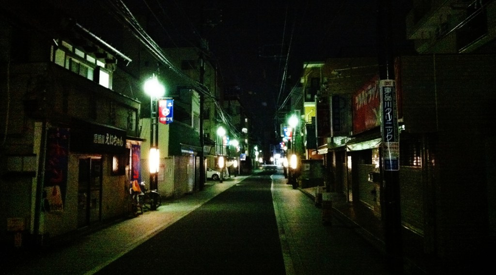
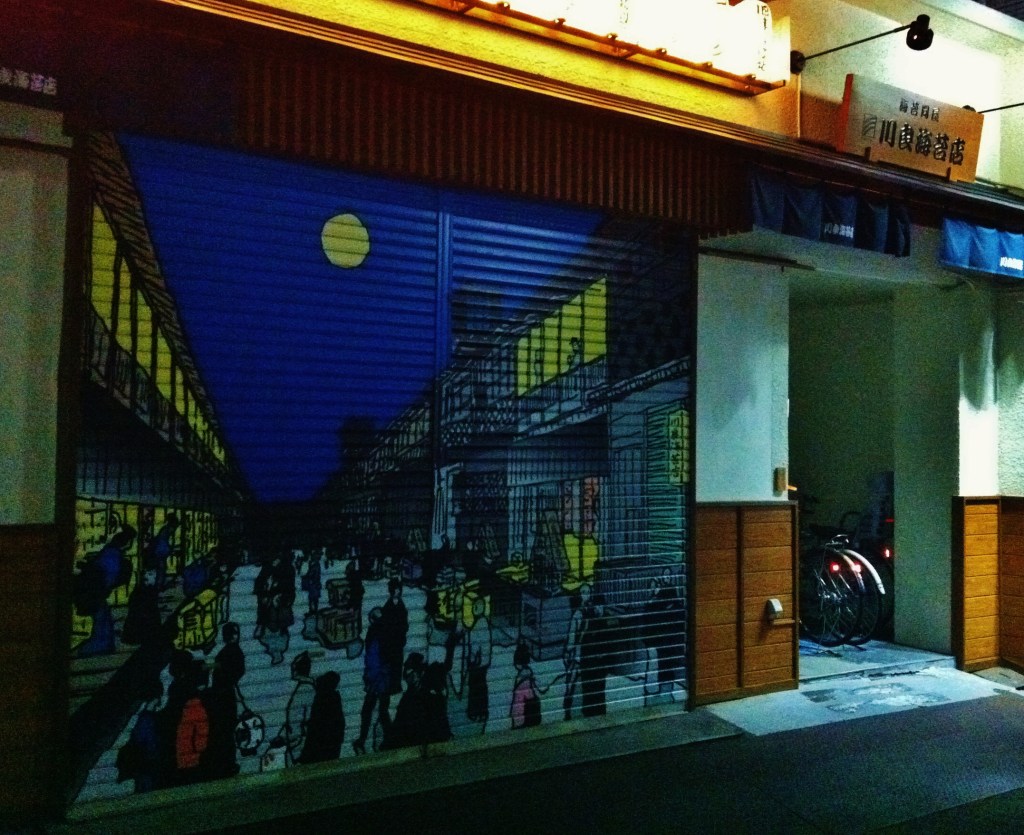
I turn left from Yamate Dori onto the Tokaido and immediately am at ease. The narrow road is built to the human scale, which I celebrate by walking in the middle of the nearly empty street, closed shops on both sides. What a random place to build a shopping street. I don’t realize I’ve entered a 400-year old road.
I cross the Meguro River 目黒川, admiring the bright red bridge upstream. I become fascinated by an oddly shaped building (5) that acts as a psychological toll booth for the road that follows.
The complexion of my journey has changed from a hike to a stroll – ハイキング to 散歩. I’m surprised it’s 2:15 a.m. and I’m not the only person haunting this street. A pack of teenagers sit on a curb laughing and talking to a passerby; a family of 4 bikes past me, the 8-year-old son leading the pack. A large bronze Buddha (6) peeks out from inside his perch in Shinagawa Temple 品川寺.
And then I hear the flutes.
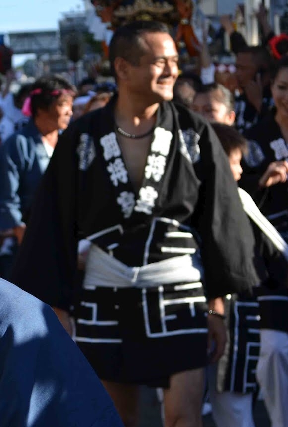
I’ve stumbled into the pre-dawn preparations for the summer oban お盆 festival (or Bon 盆). Men in dark festival jackets and basically underwear are standing by their parade carts, making adjustments, practicing their flutes, or cooking food on a small fire. A few onlookers in chairs or squatting on the ground seem to be staking their claim to a prime parade spot. I am sad to be missing the festivities hours away but glad to be able to share in the anticipation of the big day.
[Another parade and festival, the annual Shinagawa Post Town Festival しながわ宿場まつり was held on September 29-30th. See sites listed at bottom for details.]
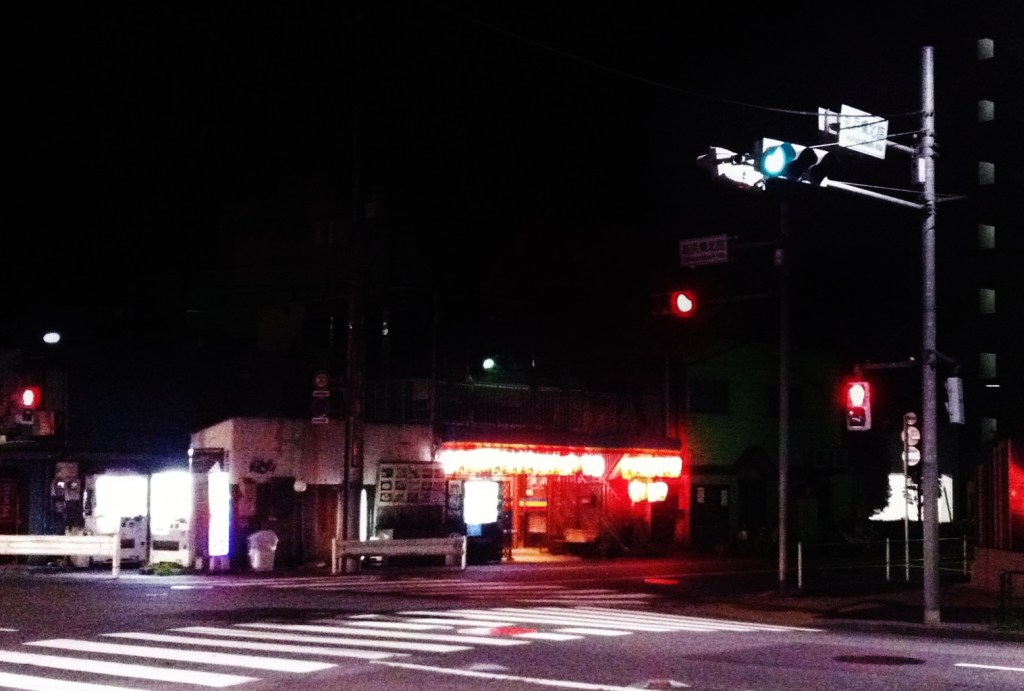
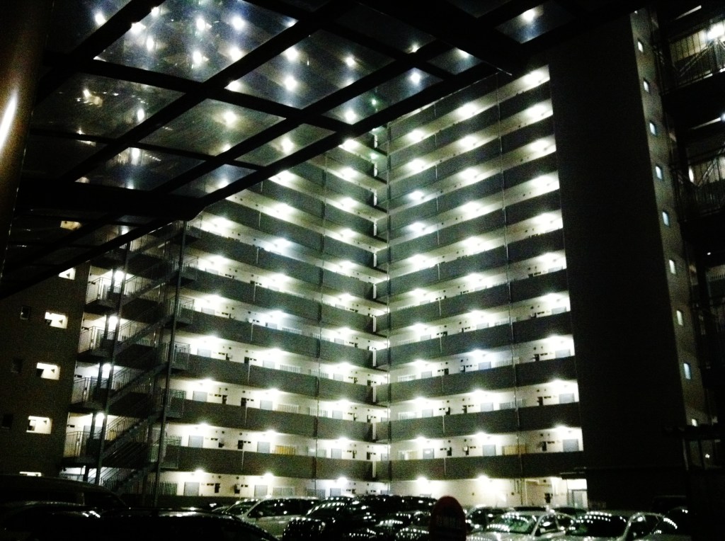
The excitement recedes as I continue along the road. I was too embarrassed to take any photographs, and I’m upset that I lost the chance to record some unique memories, but happy that I didn’t intrude on their ritual any more than I already had. I cross under a gate (7) that marks the end of the Samezu shopping district, and in a mile I’m back on a major road (8), a Royal Host restaurant brightly lit across the street, its ample parking a mark of distinction in Tokyo’s cramped confines. The buildings are large and inhuman, at least compared with the Old Tokaido. I’m reminded I have a flight to catch and google maps tells me I’m on pace for a 4:50 arrival, later than I want. Yet I can’t stop myself from taking pictures when something as beautifully ugly as this apartment complex catches my eye.
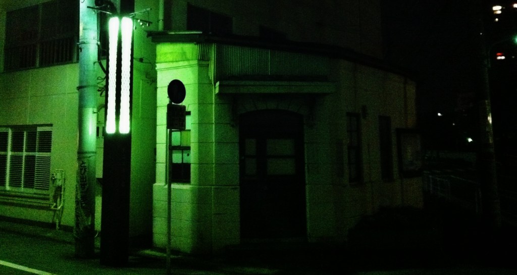
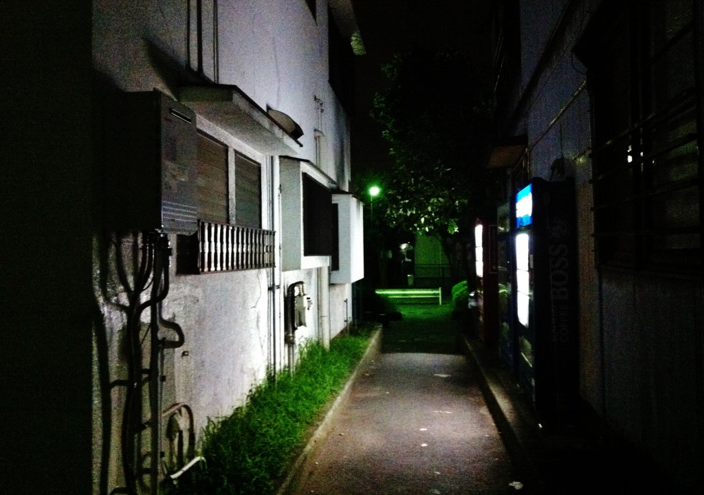
And just like that I pass a kōban 交番 (9) and I’m back on the quiet of the the Old Tokaido; within a mile I will leave the ancient street (10), turning towards the coast when I reach the Nomigawa 呑川. I am surprised when I encounter the Jack Nicklaus Academy of Golf (11), but soon I am enveloped by the deafening yet comforting cries of cicadas, the universal soundtrack of summer. I pass small warehouses so old they could pre-date the war (12). Google maps somehow knows everything and guides me through a narrow opening between two houses (13), an act that makes me feel vaguely suspect, a feeling reinforced by a sign warning of people like me.
I can’t keep pace with Google map’s imaginary walker and I’m on pace for a 5:00 a.m. arrival. I see a taxi parked in front of an apartment complex and ask the driver to take me the last 3 miles to Haneda. I’ve already left the Tokaido, so I feel no shame in not finishing my walk. As I sit in the back of the cab, wiping the sweat from my head, I remark on my good fortune. My vacation has started off with an amazing adventure and I haven’t even reached the airport.
Resources:
- 53 Stations of the Tokaido 東海道五十三次 (Wikipedia)
- Tokaido road 東海道 (Wikipedia)
- Woodblock printing: Hiroshige’s 53 stages of the Tokaido [004] Station 1, Shinagawa: Departure of a Daimyo (002)
- The Tokaido (東海道): broken link: haikugirl me/2013/04/24/the-tokaido/
- Shibaura island (Wikipedia)
- Great pics of Shinagawa Post Town festival – しながわ宿場まつり
- Old Course of the Nomikawa / Nomigawa 呑川: former river that crosses the narrow opening at point (13)
Notes:
- (3) “TY Harbor Bridge” is Friendship Bridge / Fureai bashi / ふれあい橋 / Tennozu Isle Bridge / 天王洲アイル橋
- (A) The post marking the start of the Shinagawa station of the Tokaido (I think). →

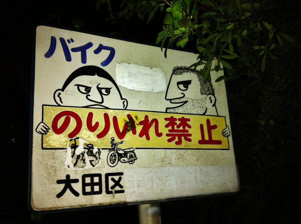
For your information, that picture indicates that the access is not allowed when riding a motorbike, nothing to see with foreigners…
Agreed – just a little joke on my part,
[…] Haneda Airport (a view of Mt. Fuji seen here from the airport) […]