Akira opening scene Google Earth

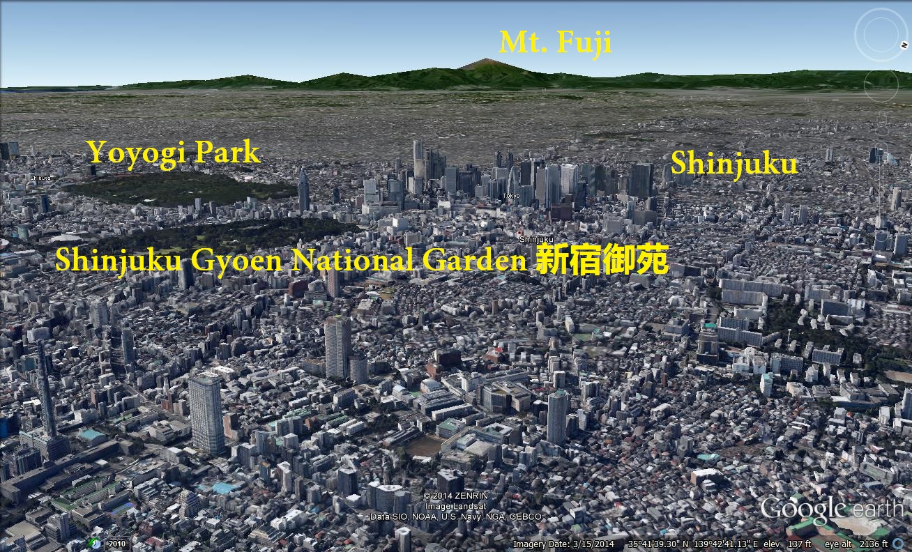
An annotated image from Google Maps, showing the Shinjuku skyscraper district with Mt. Fuji in the distance. This image is an approximation of the opening scene of AKIRA, where the explosion occurs. I’ve included labels for reference. See: Where did the explosion start in Akira?

Leave a Reply

Fill in your details below or click an icon to log in:

WordPress.com Logo

You are commenting using your WordPress.com account. Log Out /  Change )

Facebook photo

You are commenting using your Facebook account. Log Out /  Change )

Connecting to %s

This site uses Akismet to reduce spam. Learn how your comment data is processed.